Property research and buyer & seller connections for Panama City Beach, 30A, Destin and surrounding areas. Explore condos, building records, safety questions and the true cost of coastal ownership.
Start with an address. Leave with better questions.
Find a community, build your research brief and compare ownership costs side by side.
Know the community before the condo
Explore Panama City Beach’s major condo communities.
Large resort footprints, distinct ownership questions. Start with real property photography and source-backed overviews, then open the detailed profile.
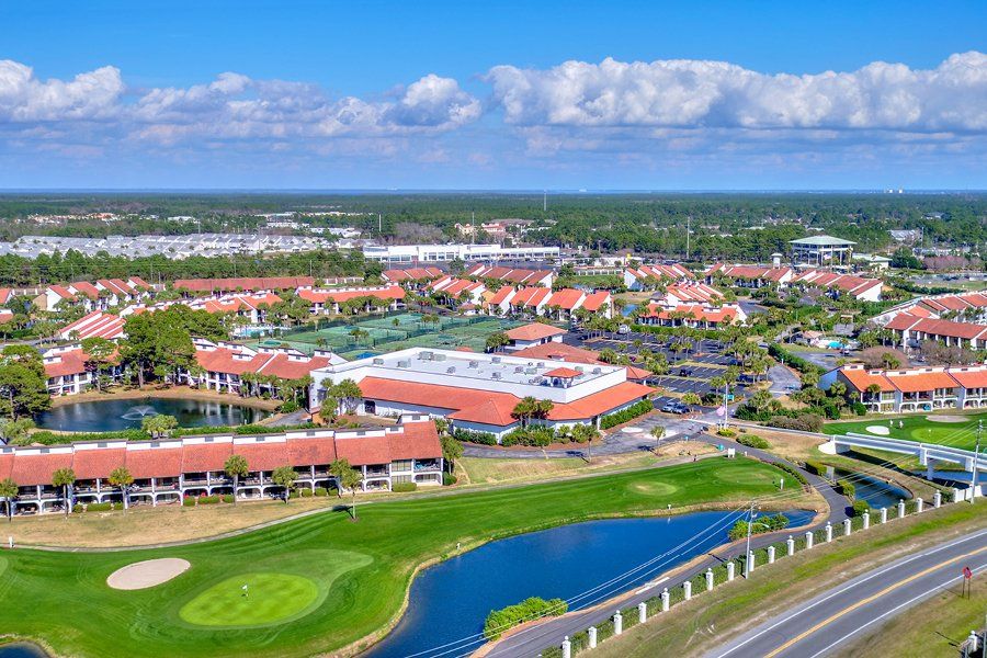
Edgewater brings tower and golf-villa ownership into one large resort setting. The first buyer decision is identifying the exact building and the shared obligations attached to it.
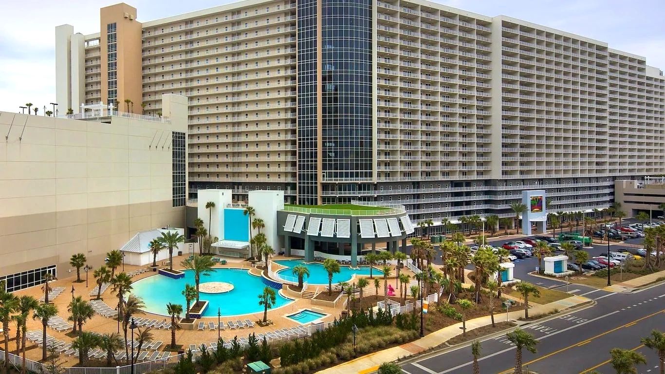
Laketown Wharf combines a large condominium footprint with a lakefront boardwalk and resort amenities. Match the unit’s view, building position and beach-access arrangement to your intended use.
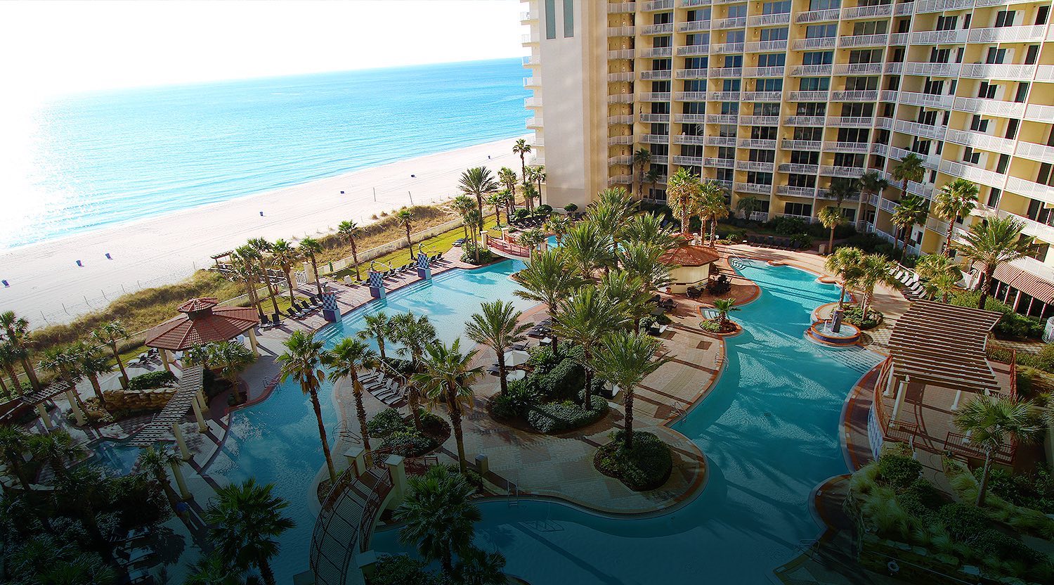
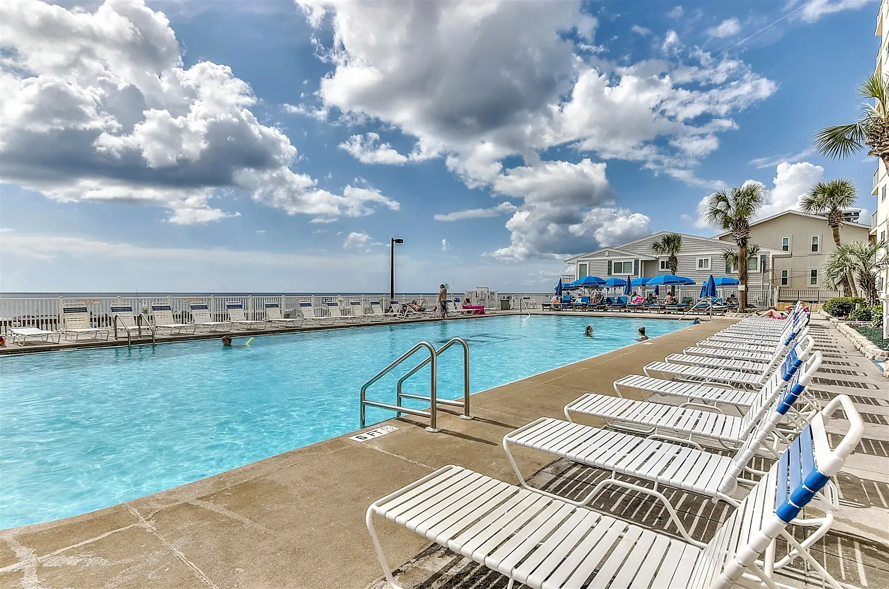
Shores of Panama is a Gulf-front high-rise centered around a large pool courtyard. Separate rental-program benefits and charges from association costs when evaluating a unit.
Tidewater is a large west-end condominium resort near the Pier Park area. Its public association pages provide starting points for guest rules, registration and owner documents.
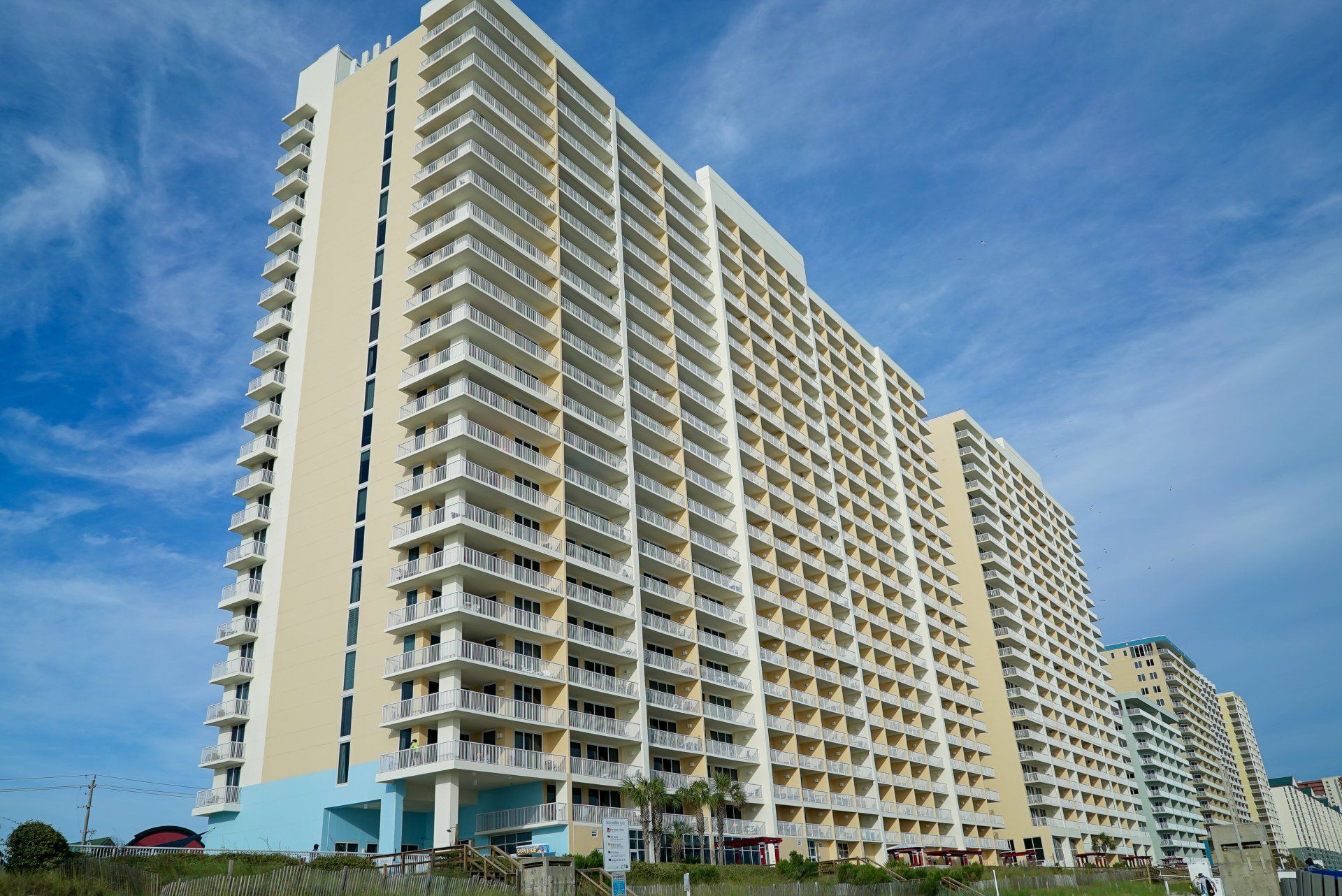
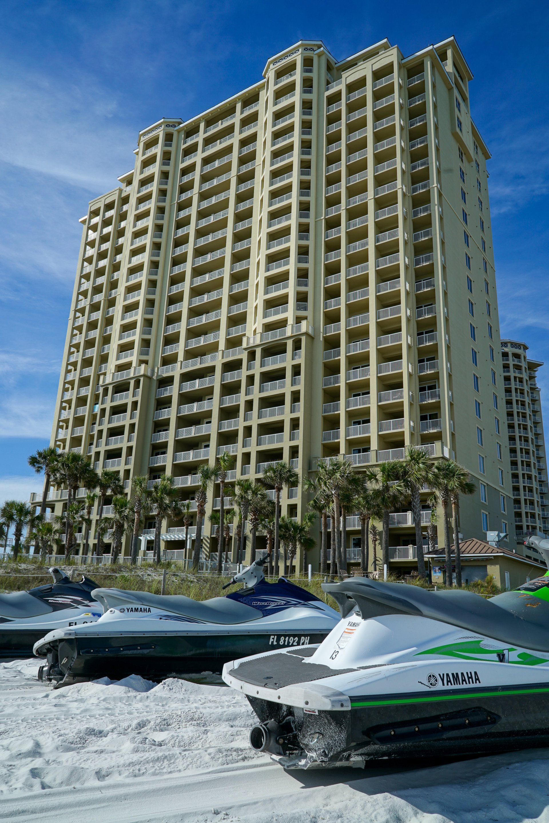
Majestic Beach Resort spans two towers with separate tower document links. Compare the unit’s tower-specific obligations as well as shared facilities and operating costs.
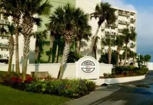
Pinnacle Port sits between the Gulf and Lake Powell, with Camp Helen State Park nearby. Its multi-building layout makes building-specific documents and maintenance responsibilities especially relevant.
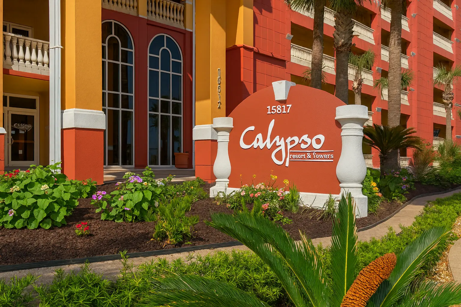
Calypso is a multi-phase development near Pier Park. Begin with the exact tower: association documents, parking rights and amenities should not be assumed identical across phases.
Regency Towers is a substantial Thomas Drive condominium community. Evaluate the individual unit alongside its association records, shared-system maintenance and current rental rules.
Grand Panama has two towers and a publicly listed association document index. Confirm the tower’s location, access rights and obligations before comparing units by price alone.
Scale figures describe the source’s stated scope, not a definitive ranking. Edgewater includes towers and villas; Calypso’s figure covers Towers I & II only. Source dates and limitations appear in each profile. Property photography is not current-condition evidence.
Whether you’re buying your first beach condo or planning your next chapter, start with the right questions.
Put the location in perspective
More than a pin on the coastline.
Explore the setting, then research the exact community, association and property behind your next decision.
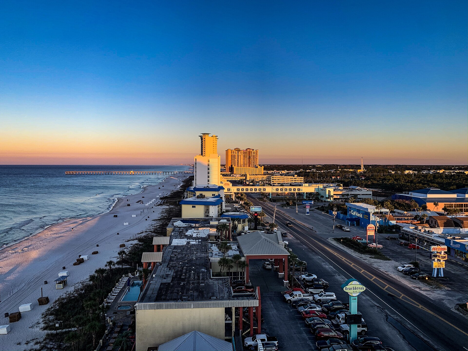
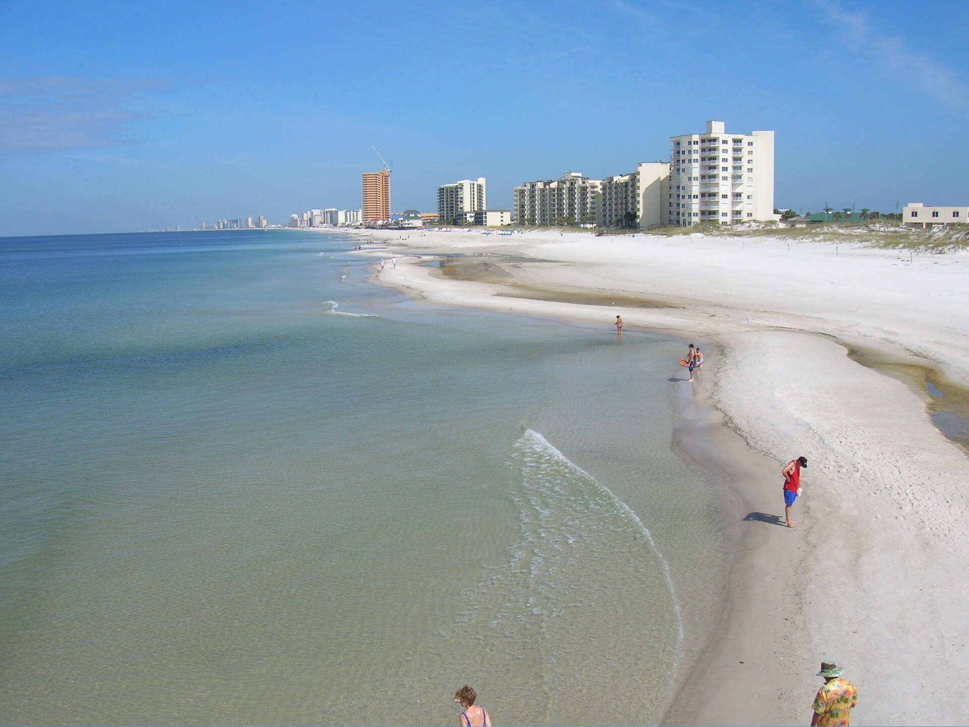
The coast, in context.Panama City Beach · area photographA view worth researching.Archival Panama City Beach photograph
Area photography, not current-condition evidence or a photograph of every named community. Han Zheng and Image by jsclark.net · Photo sources & licenses.
The condo research desk
Love the condo. Understand the building.
A beautiful unit doesn’t tell you about the association’s reserves or whether a repair was completed. Our research framework connects each question to a document—and keeps unknowns visible.
01
Start with the right records
Property and permit portals, inspection resources, association documents.
*Budget allocation only; not an offered assessment payment plan. Rental costs should include management, platform fees, cleaning subsidies and other expenses not already counted.
Estimated monthly carrying cost—
Planning estimate, not a quote or investment forecast. Excludes closing costs, loan insurance, financing fees, tax effects and unexpected repairs. Avoid double-counting items covered by HOA dues.
Local expertise. A personal connection.
Your next property. The right people beside you.
Our licensed real estate partners help buyers find their next property and owners plan their next sale in Panama City Beach and surrounding areas. Start with your goals, your questions and a conversation in the language you prefer.
A website cannot certify a building’s safety. Our role is to organize evidence and unanswered questions so you can involve the right licensed professionals.
Start with the exact address. Confirm the parcel, association and jurisdiction. Follow repairs from findings to scope, permits, inspections and completion. Review dues, reserves, assessments and insurance. Ask about fire systems, access policies and maintenance. Keep unknowns visible and involve qualified professionals.
FROM THE FLORIDA BUILDING COMMISSION / ARCHIVE
Official educational recording · August 19, 2024
Understand the milestone inspection process.
Historical training provides context. Rules and deadlines may have changed; use current DBPR guidance and the local authority for your property.
Can you tell me whether a condo building has problems?
We can organize research around official permits, inspection records and association-provided documents. An issued permit does not prove a repair was completed, and missing online records do not prove that a building has no issues. A licensed engineer or inspector must evaluate condition. Building-specific reports will show sources, dates and unresolved questions.
Are all condo documents publicly available?
No. Government portals may provide property and permit information, but budgets, meeting minutes, insurance details and other association documents often need to be requested through the seller or association. Our framework separates public-record research from documents still needed.
Is this a listing website or a real estate brokerage?
This is a property research and educational resource. It does not currently offer an MLS feed, brokerage representation, appraisals or engineering inspections. Any future introduction to an independent professional requires your permission. No referral partner is currently connected.
Can I compare buildings before choosing a unit?
Yes. Add up to three buildings to your research shortlist, then request a comparison brief. The request starts a research process; the directory does not yet contain verified fees, assessments or building-condition reports.
Does the calculator predict rental returns?
No. It uses numbers you enter to show a planning scenario. Rental rules, actual operating expenses, bookings, seasonality and financing can change the outcome. Use documented property-specific inputs and test less optimistic scenarios.
How do I research a Panama City Beach condo before buying?
Confirm the exact association, building and unit. Request the budget, reserve study, inspection reports, repair follow-through, assessments, insurance and current rental rules. Keep missing records separate from verified findings.
Does a milestone inspection mean a condo is safe forever?
No. It is a professional assessment with a defined date and scope. Review its findings and follow-up documentation with the appropriate licensed professional; it is not an unlimited guarantee.
Can a closed permit prove all building repairs are finished?
No. Match the permit’s scope with the original recommendations, inspection results and relevant completion records. One project’s final permit status does not establish the condition of the entire building.
What is the difference between a milestone inspection and SIRS?
A milestone inspection addresses structural condition. A Structural Integrity Reserve Study addresses specified components and reserve funding needs. Read both where applicable; neither replaces the other.
Ask about access policies, credential removal, visitor handling, camera maintenance, incident reporting and staff responsibilities. Equipment alone does not establish how a security program operates.
No. Flood mapping and evacuation planning serve different purposes. Check the current flood map and local evacuation information for the exact address. One does not substitute for the other.
Flood zones vs evacuation zones in Bay County: check both before buying.
Research framework · October 23, 2026
The direct answer
A flood zone and an evacuation zone answer different questions. Research both for the exact address using current official resources.
Flood mapping
Use the FEMA Flood Map Service Center and local floodplain resources to locate the property and relevant mapping. Keep the map date and panel information with your research. Ask a qualified insurance professional about property-specific coverage and a qualified surveyor or local official about elevation information where relevant.
Evacuation planning
Local evacuation resources support emergency planning. Bay County directs residents to look up their address rather than rely on memory. Follow current official orders and alerts; the property guide does not issue emergency instructions.
Practical buyer workflow
Confirm the parcel and exact address.
Check FEMA mapping and the applicable local flood resource.
Check local evacuation information separately.
Obtain insurance quotes for the actual property and intended use.
Ask management how emergency notices reach owners and guests.
Keep the limitations visible
A map is not a property inspection or a promise that a loss will not occur. Do not substitute a neighboring property’s designation, a seller’s premium or a previous storm experience for a current address-specific review.
 914 units · source-reported